

Self-Sufficient City
Self-Sufficient City is a design concept for a new town in Indonesia that is regenerative, high density, high amenity, self-sufficient in food, energy and water, car-free and has high biodiversity and ecosystem services.
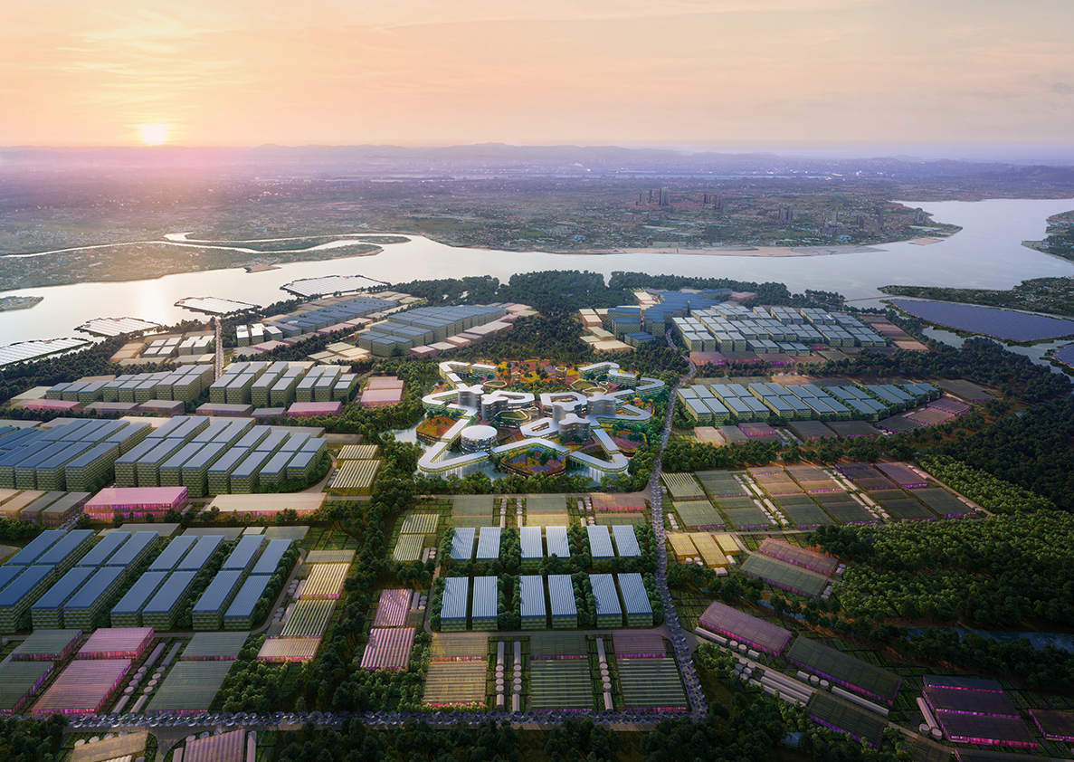
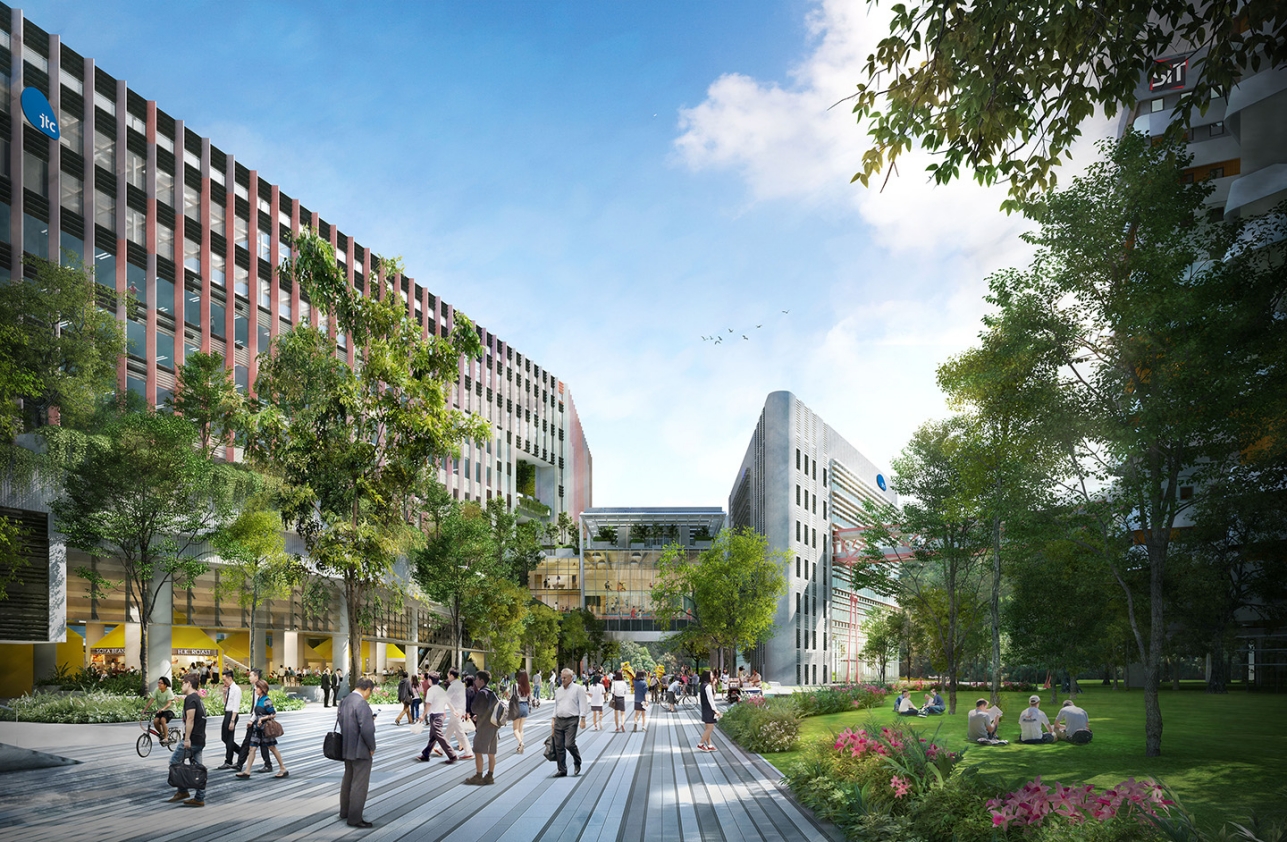
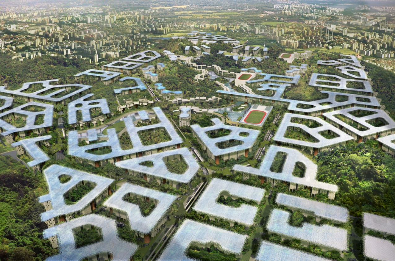
The brief was to house 210,000 people on a 730 Ha site that is overgrown with secondary rainforest and constrained by a 60m building height control limit. A 3-Dimensional master planning approach was adopted to create a tropical ‘eco-town-in-a-forest’, retaining over half of the existing green landscape.
Four distinct layers run through the town, integrating regenerative systems into the urban form:
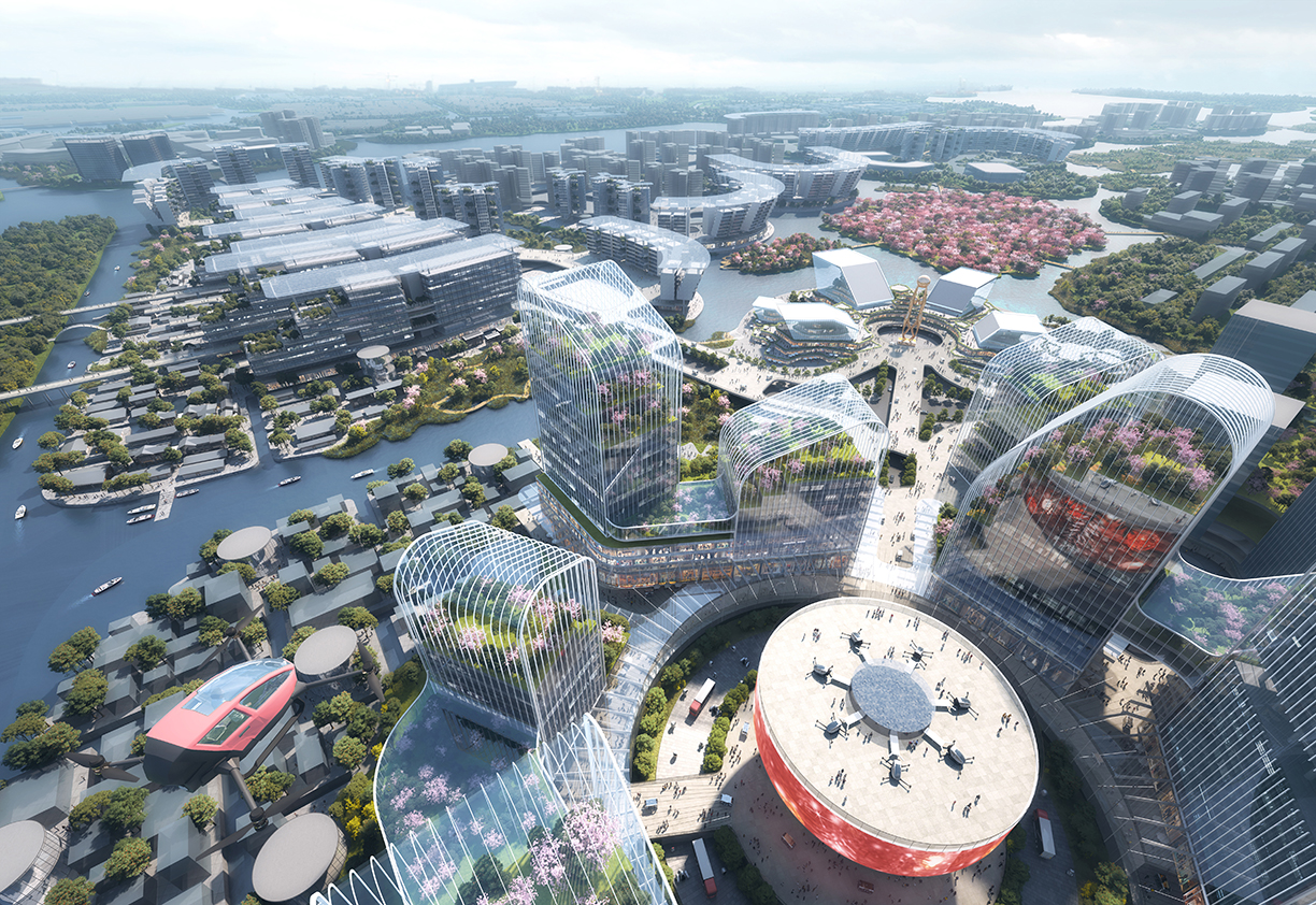
- A Transportation and Services Layer that segregates pedestrians from vehicles. Town-wide infrastructure includes pneumatic waste and recycling collection system, district cooling for the industrial estate and combined underground services tunnels under roads;
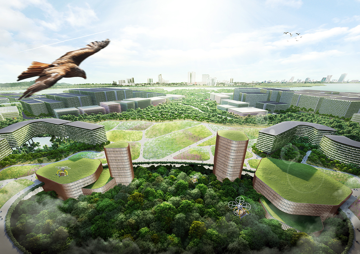
- A Parkland Layer beneath blocks that comprises Tropical Community Spaces for public functions and social interaction. The Parkland Layer prioritizes people with well-connected mobility paths and trams, and a safe car-free environment within public gardens. A diverse topographic landscape, with terraced knolls and elevated decks, overlooks forest glades and the waterways of the town’s reservoir. Pavilions and venues for meetings, parties, and community events are located on the reservoir waterfront, along with boutique-style shops and cafés;
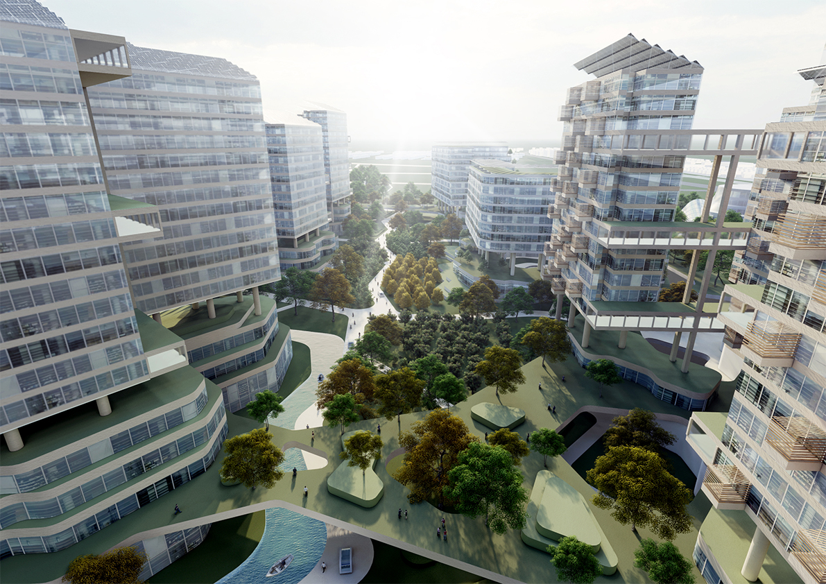
- A Residential and Workplace Layer organized into a series of Breezeway Courtyards that form an Inverted Skyline;
- A Rooftop Canopy Layer that is both protective and productive, providing shade and shelter as well as solar energy and food harvested from Sky Field crops. More than 3km2 of photovoltaic panels installed on the Rooftop Canopy Layer generate a 40MW system that can support the fully net zero energy town. With the Inverted Skyline typology, all building rooftops are capped at the same height, which ensures that no energy losses occur from over-shadowing.